Northern Michigan is experiencing a severe winter storm that began Friday and is expected to continue through Monday, bringing heavy snowfall to the region. The storm, driven by lake-effect snow bands, is already causing significant snowfall across the Upper Peninsula and northern Michigan, with some areas receiving over a foot of snow.
According to the National Weather Service (NWS), certain regions in the Upper Peninsula and northern Michigan have already received impressive snow totals:
- Gaylord: 24.8 inches of snow.
- Sault Ste. Marie: 23 inches of snow.
- Elmira: 19.5 inches of snow.
- Mancelona: 13.2 inches of snow.
- Bessemer: 15 inches of snow.
- Mattawan: 12.5 inches of snow.
In some areas, snow is falling at rates of 1-3 inches per hour, particularly under the more intense snow bands. These snowfalls are expected to continue through Sunday, and the storm is expected to create dangerous travel conditions across the affected regions.
Lake Effect Snow Bands
The storm’s snow is driven by lake effect snow bands, which occur when cold air passes over warmer lake waters. These bands can bring heavy snow over localized areas, while nearby regions may see little to no accumulation. Some locations in the Upper Peninsula and northern Michigan are expected to see over a foot of snow by the storm’s end, while areas outside these snow bands may only receive a few inches.
Also Read
For example, Allendale saw 7.5 inches, and Ironwood received 9.5 inches. Meanwhile, areas like Garden City received only 2 inches of snow, showing the variability of lake effect snowstorms.
Travel Conditions and Hazards
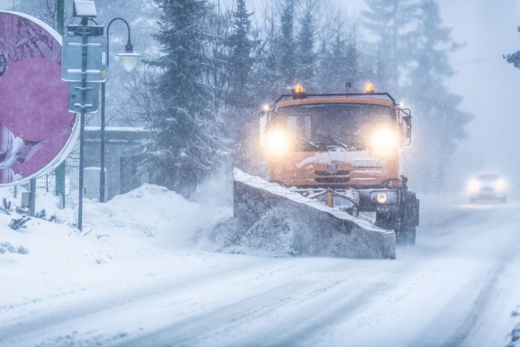
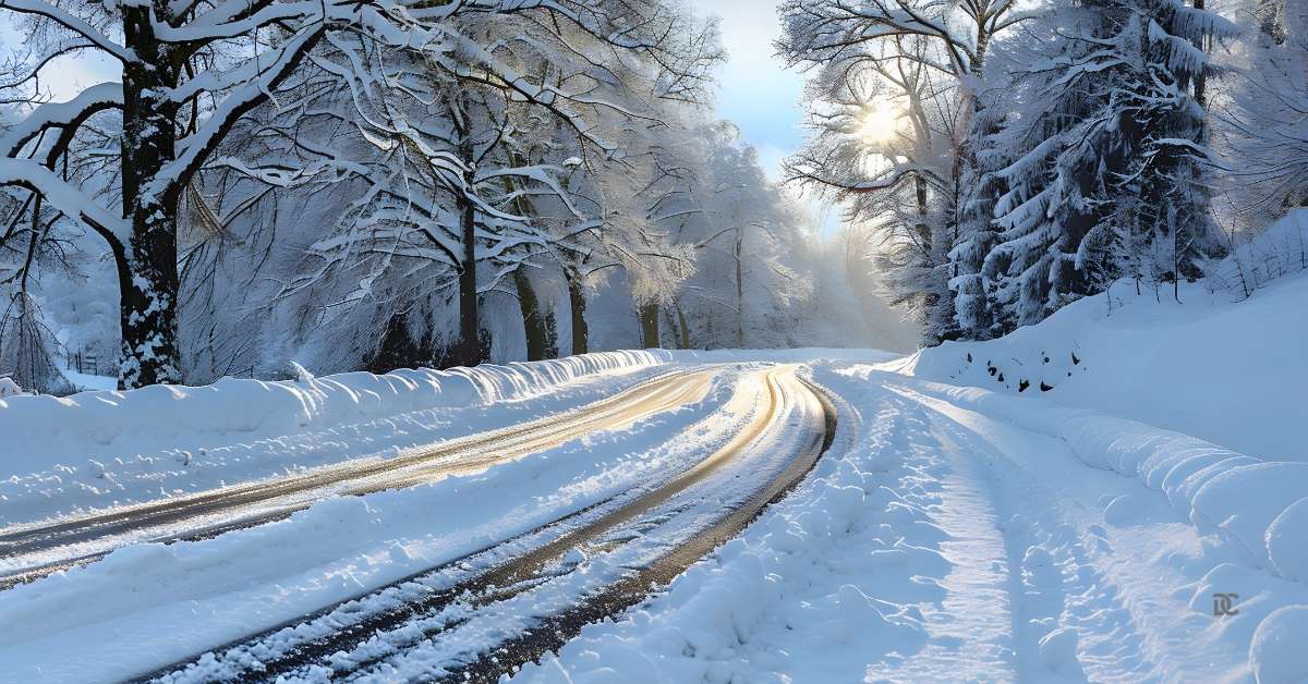
The heavy snowfall has already led to hazardous travel conditions throughout northern Michigan. Roads are slick and snow-covered, and visibility has been significantly reduced, especially in areas within the snow bands. Drivers are urged to exercise extreme caution, especially when travelling into and out of these snow bands, as whiteout conditions may occur.
For areas under the winter storm warning, snow-covered roads and reduced visibility are expected to create significant travel disruptions. The warning is in effect until 7 p.m. Sunday, after which conditions are expected to improve but remain hazardous in some areas.
Other Areas Impacted by the Storm
The winter weather system has also affected areas in the lower part of the state, including the Upper Peninsula and northern Michigan. Significant snowfall was reported in places like Grand Rapids and Kalamazoo, and Metro Detroit also experienced snowfall on Friday.

The Metro Detroit area saw whiteout conditions, which led to some freeway closures and dangerous driving conditions. In general, the entire state has experienced substantial snow accumulation, although the heaviest snow and most dangerous conditions are concentrated in northern Michigan.
Snowfall Accumulations by Area
Here are the latest snow accumulations across Michigan as reported by the National Weather Service:
- Allendale: 7.5 inches
- Alston: 13.5 inches
- Ann Arbor: 3 inches
- Bedford: 4.3 inches
- Bessemer: 15 inches
- Comstock: 8.5 inches
- Darragh: 14 inches
- East Grand Rapids: 7.6 inches
- Elmira: 19.5 inches
- Garden City: 2 inches
- Gaylord: 24.8 inches
- Germfask: 12 inches
- Grandville: 8.1 inches
- Ironwood: 9.5 inches
- Jamestown: 8 inches
- Jennison: 6 inches
- Kingsley: 6 inches
- Lovells: 8.5 inches
- Mancelona: 13.2 inches
- Marne: 5 inches
- Mattawan: 12.5 inches
- Ostsego Lake: 10.2 inches
- Painesdale: 9.2 inches
- Paw Paw: 8 inches
- Rapid City: 12.5 inches
- Sault Ste. Marie: 23 inches
- Twin Lakes: 8.8 inches
- Waters: 6.2 inches
- Wolf Lake: 11 inches
Safety Tips for Drivers
If you need to drive in these conditions, the National Weather Service and local authorities are advising the following safety precautions:
- Slow Down: Even if the roads are not completely covered, the wet snow can make roads slick. Reducing speed is key to maintaining control of your vehicle.
- Keep Distance: Maintain extra distance between your vehicle and others. Stopping distances are longer in snow, so give yourself more space.
- Emergency Kit: Keep an emergency kit in your car, including blankets, non-perishable food, water, a flashlight, and extra clothing.
- Check Weather and Road Conditions: Before heading out, check the Michigan Department of Transportation for road closures and live traffic updates.
While the storm is expected to continue through Sunday evening, conditions should start to improve on Monday. However, clearing snow and icy conditions may linger on roads, so travellers should also exercise caution on Monday.
In addition, the snow accumulation from this storm will likely contribute to snow totals for the season, increasing the overall snowfall in these areas. As the storm moves out, residents can expect colder temperatures and potentially more snow as the winter season unfolds in Michigan.
In summary, Northern Michigan is experiencing a dangerous winter storm with heavy snow, hazardous road conditions, and reduced visibility. Residents and travellers in affected areas should stay alert, follow safety guidelines, and be prepared for winter driving challenges.


