For those traveling on the highways and byways today, it’s easy to get used to all the electronic gadgets such as GPS, cell phones, built-in navigational systems, and services that provide directions and help get you to your destination. However, it still doesn’t hurt for you to know and understand the road signs while traveling.
There are two primary highway numbering systems in the United States:
- Interstate Highway System: A network of controlled-access highways that form part of the National Highway System.
- U.S. Numbered Highway System: An older network of roads that predates the Interstate system, comprising both primary and secondary highways.
Both systems use a grid-based numbering scheme, but there are distinct differences in their conventions.
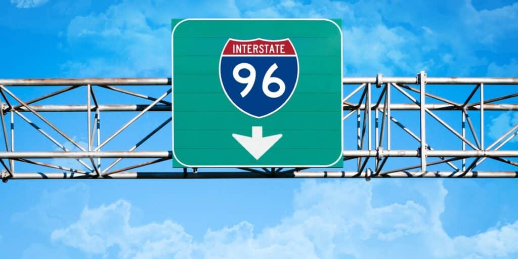
Interstate Highway route designations are usually found on the familiar blue shield with white letters and a red crest across the top. The highways are often designated I-## or Interstate ##, and these highways are usually limited access, divided highways. They are usually referred to as freeways or expressways, especially in urban areas, although a few of the interstate routes may have tolls on certain portions of the road.
Also Read
Primary (One- and Two-Digit) Interstates
Primary Interstates are the main arteries of the Interstate Highway System. Their numbering follows specific rules based on their orientation and geographical location.
- Orientation:
- East-West Routes: Assigned even numbers.
- Lowest Numbers: Located in the south (e.g., I-10 in southern states).
- Highest Numbers: Located in the north (e.g., I-90 across the northern states).
- North-South Routes: Assigned odd numbers.
- Lowest Numbers: Located in the west (e.g., I-5 on the West Coast).
- Highest Numbers: Located in the east (e.g., I-95 along the East Coast).
- East-West Routes: Assigned even numbers.
- Numbering Logic:
- Primary Interstates Increase Numerically from West to East and from South to North.
- For example:
- I-10 runs from California to Florida (south).
- I-90 runs from Washington to Massachusetts (north).
- I-5 runs along the West Coast from California to Washington.
- I-95 runs along the East Coast from Florida to Maine.
- For example:
- Primary Interstates Increase Numerically from West to East and from South to North.
The Interstate Highways are numbered in a particular system, with the odd-numbered routes running from North to south and the even-numbered routes running from east to west.
For example, I-5 runs from the Washington-Canadian border all the way down to the Mexican border near San Diego. The pattern for the numbering system also begins with the lowest-numbered odd routes starting on the west coast and going to the highest-numbered routes on the east. So, I-5 runs through the Pacific Coast states of Washington, Oregon, and California. As you work your way across the country to the East Coast, I-95 runs from Maine to Florida.
The east-west Interstate routes have their lowest numbered routes starting in the southern United States and going to the highest numbered routes in the North.
I-4 is the lowest route and runs only across the central part of Florida. I-10 is the lowest-numbered major route and runs from Florida to California. I-96 is the highest-numbered route and runs from Detroit to Muskegon, Michigan. I-90 is the highest-numbered major route that extends from Boston to Seattle.

There are some exceptions to these general rules such as I-99 in Pennsylvania which is numerically higher than I-95 but lies west of it and was the nearest odd 2-digit number available. I-82 in Washington & Oregon lies fully north of I-84; but its numbering is due to I-84 previously having the designation of I-80N. Some other exceptions are I-69 in Michigan, I-76 in Nebraska, and I-64 in Virginia.
The Auxiliary Interstate routes are the three-digit interstate routes that are either loop routes, spurs, or other alternate routes that are extensions of the primary or parent interstate route. Typically, for loop routes, which start from the primary route and return to the same primary route, the first digit is even.
For example, I-495 loops around Washington, DC, and is tied to the I-95 primary route. A spur route is one that extends from the primary route and does not return to an interstate route. I-395 is a spur route that begins from I-95 in Virginia and leads to downtown Washington, DC. Another example of a loop route is I-285 around Atlanta, which is tied to the primary route of I-85.
Many cities and states have spur or loop routes, and the numbers may be used in different locations, except that no state has two auxiliary highways with the same number.
For example, I-295 is used as a loop around Jacksonville, Florida; I-295 is a loop around Philadelphia on the New Jersey side of the metro area; I-295 is a route in the Bronx and Queens; I-295 loops around Richmond and Petersburg, Virginia; I-295 loops around Providence, Rhode Island; and I-295 is a route through Portland, Maine.
In Alaska, Hawaii, and Puerto Rico, the federal highway system (it’s hard to call them interstates since they don’t run between states) uses rules based primarily on their funding and creation.
Two-Digit Routes
The U.S. Highways are numbered in a particular system, with the two-digit odd-numbered routes generally running from North to south and the two-digit even-numbered routes running from east to west. The pattern for the numbering system also begins with the lowest-numbered odd routes starting on the East Coast and going to the highest-numbered routes on the West Coast.
For example, U.S. Highway 1 extends from Fort Kent, Maine, to Key West, Florida, on the east coast. U.S. Highway 101, which incidentally is considered a two-digit route, extends from Port Angeles, Washington, to Los Angeles on the west coast. U.S. 2 runs from Houlton, Maine, to Bonners Ferry, Idaho, across the northern United States. U.S. 98 runs from Bartow, Florida, to across the southern U.S.

The U.S. Highway system numbering system, which increases from east to west and North to south, is the reverse of the Interstate system to minimize confusion in the numbering system.
Initially, the highways that ended in zero or one were considered the main routes, and many of these extended from one coast to the other or from the northern boundaries of the country to the southern boundaries. With the advent of the Interstate system, which often parallels the U.S. Highways, many of the U.S. Highway routes have been truncated, decommissioned, or extended to the point that they may not adhere to the original layouts when the system was initially established.
For example, the legendary Route 66 has been decommissioned and replaced by the Interstate Highway network.
Auxiliary (Three-Digit) Interstates
Auxiliary Interstates branch off from primary Interstates and serve metropolitan areas or specific regions.
- First Digit:
- Even First Digit: Indicates a loop or beltway around a city.
- Example: I-495 forms a loop around Washington, D.C.
- Odd First Digit: Indicates a spur that connects to a primary Interstate.
- Example: I-395 serves as a spur from I-95 into downtown areas.
- Even First Digit: Indicates a loop or beltway around a city.
- Last Two Digits:
- Represent the parent (primary) Interstate.
- For example, I-275 is an auxiliary route of I-75.
- Represent the parent (primary) Interstate.
- Numbering Logic:
- Auxiliary Interstates are Generally Numbered Between 290 and 999.
- Avoid Using Numbers That Could Be Confused with Primary Interstates.
Three-digit numbered routes are spurs of the parent routes and may branch off from the parent or run near the parent.
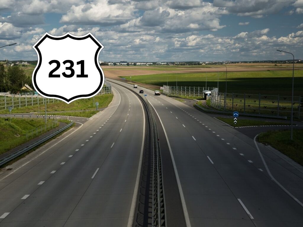
For example, U.S. 231 begins as a spur of U.S. 31 and runs generally near U.S. 31 from St. John, Indiana, near Gary to Panama City, Florida. Some of these may not follow the original pattern of the highway system due to the changes over the years and the altering of the two-digit numbered routes.

The first digit of the three-digit route increases along the parent route to follow the east-west and north-south numbering system.
For example, U.S. 111 in Maryland, U.S. 211 in Virginia, U.S. 311 in North Carolina, and U.S. 411 in Tennessee, which are spur routes of the parent route U.S. 11, are numbered higher as they go from east to west.
Special Interstate Designations
- Interstate Business Routes (e.g., Business Loop I-80):
- Serve downtown or central business districts of cities bypassed by the main Interstate.
- Interstate Truck Routes:
- Designed to accommodate large trucks, often avoiding low-clearance bridges or congested urban areas.
Bannered Routes
Bannered routes are auxiliary highways that are loops, spurs, or alternate routes and have a banner above or below their number on the signage to designate the route. Common banners are ALT (Alternate), BUS (Business), BYP (Bypass), and TRUCK.
Divided Routes
Divided routes are evenly split routes that use the designation of E (east), W (west), N (North), or S (south) to designate the alternate routes. This is not the same as divided highways, which refer to the dividing of the lanes on a specific route.
For example, U.S. 9W is a split route between Fort Lee, NJ, and Albany, NY. These divided routes are becoming less common as new designations are not being approved and older ones are being eliminated.
As noted earlier, there are exceptions to these rules and as additional interstate highways are built, it will make it more difficult to conform to the numbering system as available numbers to fit the pattern become limited.
U.S. Numbered Highway System
Before the Interstate system, the U.S. Numbered Highway System was established to create a coherent network of roads across the country. While it shares some similarities with the Interstate system, there are key differences.
Primary (One- and Two-Digit) U.S. Highways
- Orientation:
- East-West Routes: Assigned even numbers.
- Lowest Numbers: Located in the north (contrary to Interstates).
- Highest Numbers: Located in the south.
- North-South Routes: Assigned odd numbers.
- Lowest Numbers: Located in the east.
- Highest Numbers: Located in the west.
- East-West Routes: Assigned even numbers.
- Numbering Logic:
- Primary U.S. Highways Decrease in Number from East to West and North to South.
- For example:
- U.S. Route 1 (US 1): Runs along the East Coast.
- U.S. Route 101 (US 101): Runs along the West Coast.
- U.S. Route 66 (US 66): Historically ran from Illinois to California.
- For example:
- Primary U.S. Highways Decrease in Number from East to West and North to South.
Auxiliary and Special U.S. Highways
- Branch Routes:
- Often have three-digit numbers where the first digit is even (similar to Interstate loops).
- Serve as bypasses or spurs from the main U.S. Highway.
- Business Routes:
- Similar to Interstate business routes, they direct traffic into business districts.
Here’s a table summarizing the Key Differences Between Interstate and U.S. Highway Numbering:
| Aspect | Interstate Highways | U.S. Highways |
|---|---|---|
| Numbering Orientation | – East-West: Numbers increase from south to north. – North-South: Numbers increase from west to east. | – East-West: Numbers increase from north to south. – North-South: Numbers increase from east to west. |
| Auxiliary Routes | – Three-digit numbers. – First Digit Even: Indicates a loop or beltway. – First Digit Odd: Indicates a spur. | – Less standardized. – Auxiliary routes are less common and not part of a separate grid. |
| Designation and Standards | – Controlled-access highways. – Adhere to specific design standards (e.g., limited entrances/exits, no at-grade crossings). | – Can include a mix of controlled-access and at-grade roads. – Design standards are less uniform compared to Interstates. |
- Interstate Highways:
- Part of the National Highway System.
- Designed primarily for long-distance and high-speed travel.
- U.S. Highways:
- Older network that precedes the Interstate system.
- Serve both long-distance and regional/local travel needs.
| Feature | Interstate Highways | U.S. Highways |
|---|---|---|
| Primary Purpose | High-speed, long-distance travel | Comprehensive network covering diverse areas |
| Access Control | Limited access (controlled-access) | Variable access (controlled and at-grade) |
| Numbering Grid | Grid-based with specific rules for numbering | Grid-based but with different numbering logic |
| Auxiliary Systems | Well-defined with three-digit numbering | Less defined, fewer auxiliary routes |

Fun Facts
- U.S. Numbered Highway System established in 1926, it was the first attempt to create a standardized network of roads across the nation.
- Interstate Highway System authorized in 1956 through the Federal-Aid Highway Act, championed by President Dwight D. Eisenhower.
- Origins of the Interstate System: The Interstate Highway System was largely inspired by President Dwight D. Eisenhower, who was impressed by the efficiency of Germany’s autobahn network during World War II. He championed its creation to improve national defense and commerce.
- Number 66 – The Iconic Route: Often called the “Main Street of America,” U.S. Route 66 was established in 1926 and stretched from Chicago to Los Angeles. It became a symbol of freedom and adventure, especially during the Dust Bowl migration.
- Longest Interstate Highway: I-90 Stretching approximately 3,020 miles from Seattle, Washington, to Boston, Massachusetts, Interstate 90 is the longest Interstate Highway in the United States.
- Shortest Interstate Highway: I-878: Located entirely within New York City, Interstate 878 is only about 0.5 miles long, serving as a connector between I-87 and I-287.
- I-75’s Alligator Alley: This nickname refers to the stretch of Interstate 75 in Florida that crosses the Everglades. It earned its name due to the frequent sightings of alligators in the area.
- Numbering Anomalies: I-99 Unlike most Interstates, I-99 is a spur route that runs entirely within Pennsylvania and a small part of New York, without connecting to a primary Interstate highway.
- Golden Gate Bridge: While not part of the Interstate system, the Golden Gate Bridge is an iconic part of U.S. highway infrastructure, connecting San Francisco to Marin County.
- Most Tolls: I-95: Running along the East Coast, I-95 features numerous tolls, especially in states like New York, New Jersey, and Florida.
- Interstate Colors: Interstate highways use a standardized red, white, and blue shield design, making them easily recognizable across the country.
- A three-digit interstate starting with an odd number is called a spur route. In the U.S. Interstate Highway System, three-digit interstates are known as auxiliary or spur routes. When the first digit of a three-digit interstate is odd, it typically indicates that the route is a spur that connects a primary (one- or two-digit) interstate to a specific destination, such as a city center. For example, Interstate 395 (I-395) serves as a spur connecting the main Interstate 95 (I-95) to downtown areas.
- North-south highways in the U.S. are assigned odd numbers. In the U.S. highway numbering system, north-south routes are designated with odd numbers. This means that highways running primarily in the north-south direction will have numbers like 5, 15, 95, etc. Conversely, east-west routes use even numbers. This numbering convention helps in easily identifying the general direction of a highway.
Tips for Remembering Highway Numbering
- Interstate Orientation:
- Odd Numbers: Think “O” for “Odd” and “O” for “Oriented” (North-South).
- Even Numbers: Think “E” for “Even” and “E” for “East-West.”
- Primary vs. Auxiliary:
- Single/Dual-Digit: Primary highways.
- Three-Digit: Auxiliary highways; first digit indicates loop (even) or spur (odd).
- Geographical Placement:
- Lower Numbers: West (for East-West) and South (for North-South) in Interstates.
- Higher Numbers: East (for East-West) and North (for North-South) in Interstates.
Additional Resources
For those interested in exploring further, consider the following resources:
- Federal Highway Administration (FHWA): www.fhwa.dot.gov
- American Association of State Highway and Transportation Officials (AASHTO): www.transportation.org
- Historic US Route 66 Information: www.route66.com
- Interstate Highway System History: Wikipedia – Interstate Highway System


